Transitopia Map Update (Nov 2024)
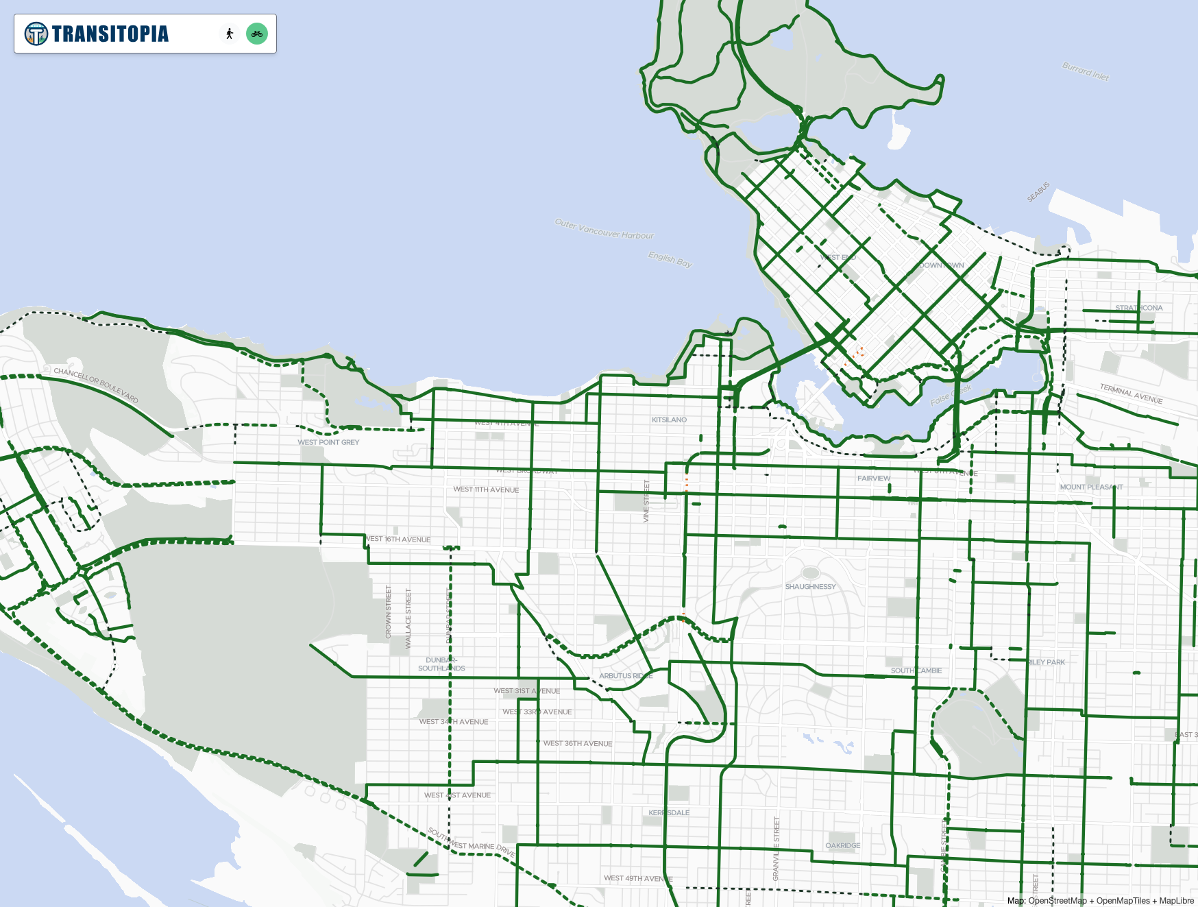
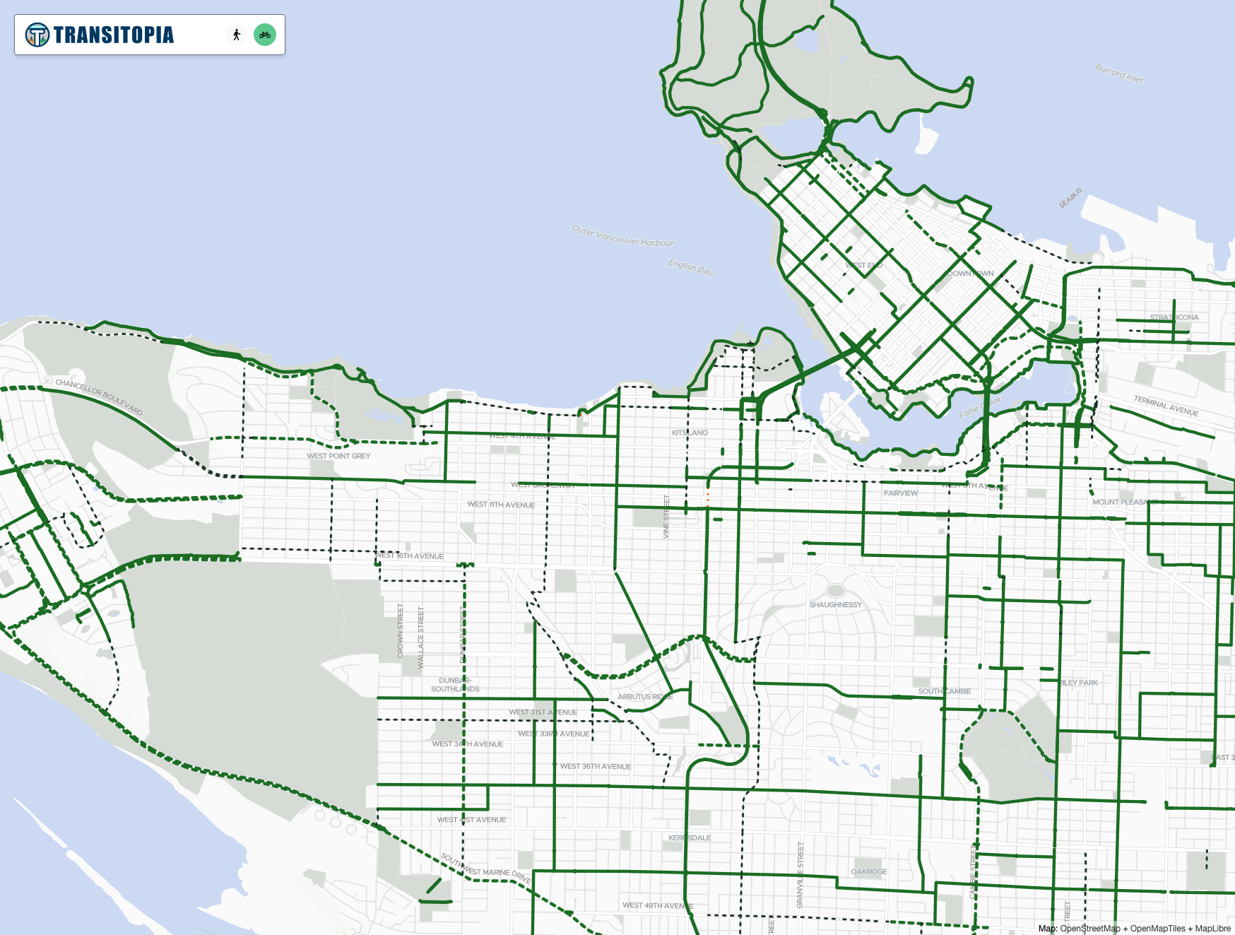
I've updated the OpenStreetMap data for the Transitopia Cycling Map, and it's interesting to see the changes. I last pulled in the data in January, so this shows about 11 months of changes. Keep in mind that many of the changes are just improvements to the map, and don't necessarily reflect new bike lanes being built. Here is Vancouver:
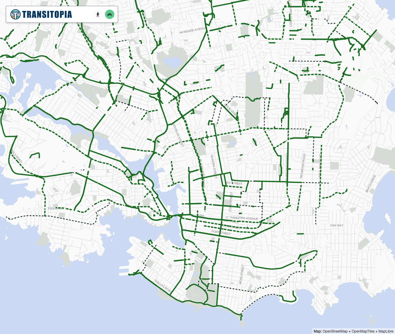
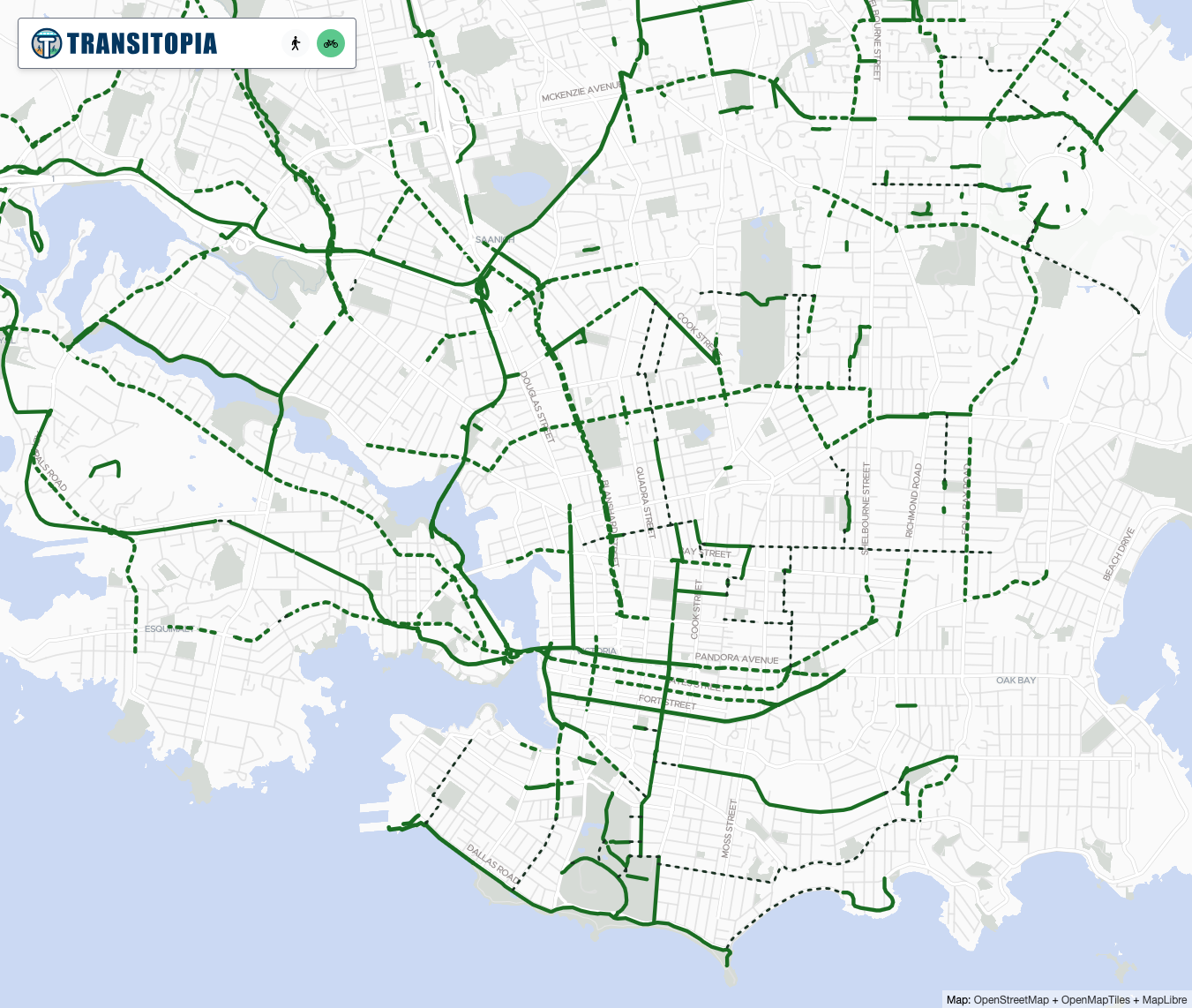
And here is Victoria:
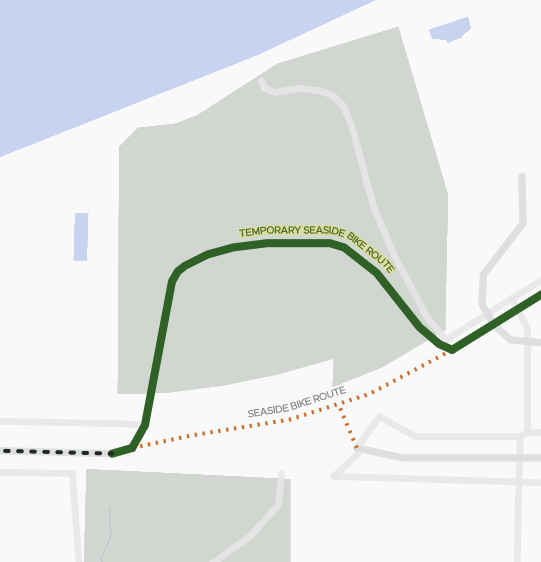
For example, looking at the Vancouver changes, the temporary detour/closure in Volunteer Park is now gone:
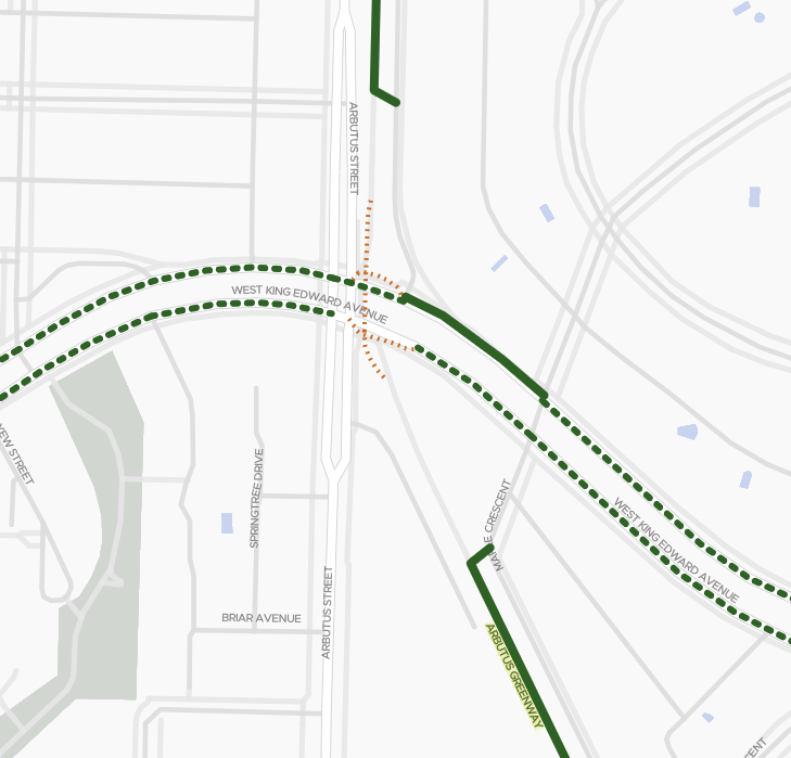
The closure of the Arbutus Greenway at West King Edward is now indicated on the map:
Likewise, the closure of the downtown end of the Granville Street Bridge is now shown.
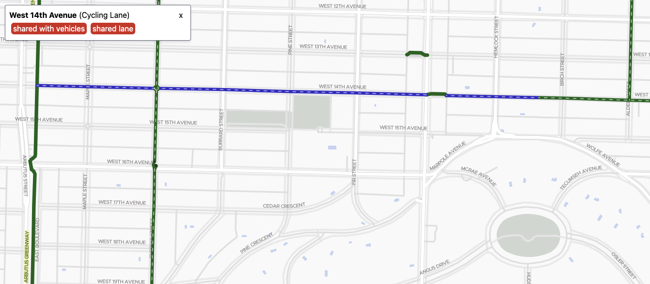
Many other routes have been re-classified, as you can see - e.g. West 14th Ave between Arbutus and Alder. I believe that was due to this change. I will have to check in person if that bike lane was actually upgraded, because the City website, City map, and google street view don't show it yet.
